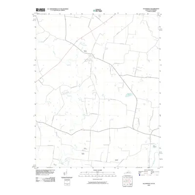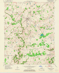
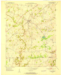
1950 Map of Allensville
USGS Topo · Published 1966About this map
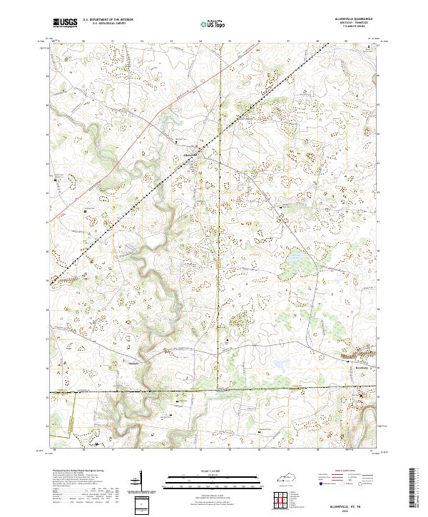
Allensville serves as the central hub of this agricultural landscape along the Kentucky-Tennessee border in the mid-20th century. The settlement's development is closely tied to the Louisville and Nashville railroad line, which cuts diagonally across the terrain, passing through the town and northward. The surrounding countryside is defined by the winding course of the Elk Fork and the Red River, where the topography becomes increasingly complex with narrow valleys and wooded ridges. Scattered rural sites like Belmont Cem and the small locality of Darnell illustrate the traditional community structure of Todd County. The map provides a look at the region's hydrology, including isolated water features such as Mosley Pond amidst the karst-like depressions typical of this borderland area.
Find a feature on this map
14 named features on this map. Tap any name to fly to it.
Don’t see what you’re looking for? This feature index may not catch every label — zoom into the map to look around manually.
Map Details
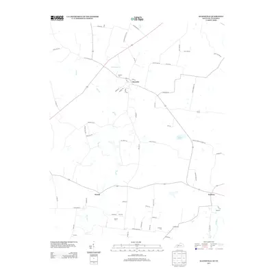
Editions of this 1950 Allensville Map
2 editions found
Historical Maps of Keysburg Through Time
6 maps found