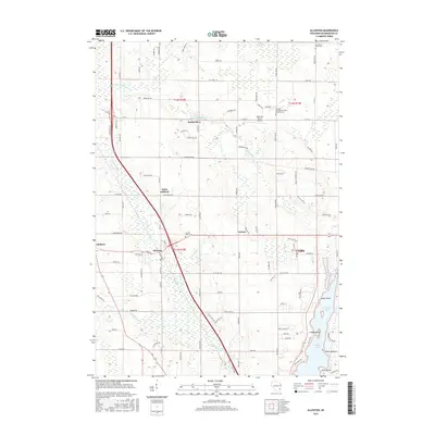
2015 Map of Allenton
USGS Topo · Published 2015About this map
Allenton serves as a focal point for this section of Washington County, where the village layout is defined by the proximity of Railroad St and the E Br Rock River. To the north, the small settlement of Kohlsville sits near the Kohlsville Millpond, a testament to the early water-powered industry that once shaped these rural crossroads. The landscape is a mix of agricultural plots and low-lying wetlands, most notably the Wayne Marsh in the northern portion of the quadrangle.
Find a feature on this map
102 named features on this map. Tap any name to fly to it.
Don’t see what you’re looking for? This feature index may not catch every label — zoom into the map to look around manually.
Map Details
Editions of this 2015 Allenton Map
This is the sole edition of this map. No revisions or reprints were ever made.
Other maps of this area

1904 · West Bend
USGS Topo · 1:62,500

1904 · Hartford
USGS Topo · 1:62,500

1955 · Campbellsport
USGS Topo · 1:62,500

1955 · Kewaskum
USGS Topo · 1:62,500

1957 · Madison
USGS Topo · 1:250,000

1959 · West Bend
USGS Topo · 1:62,500

1959 · Hartford
USGS Topo · 1:62,500

1959 · Nenno
USGS Topo · 1:24,000

1959 · Allenton
USGS Topo · 1:24,000
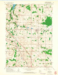
1959 · Jackson
USGS Topo · 1:24,000