
1942 Map of Allentown West
USGS Topo · Published 1942About this map
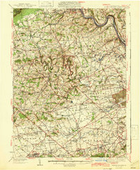
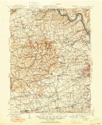
The Lehigh River corridor serves as the industrial and logistical spine for Lehigh County in the early 1940s, bracketed by the dramatic rise of Blue Mountain and Bake Oven Knob to the north. This survey reveals a landscape where heavy rail infrastructure, including the Central Railroad of New Jersey and the Lehigh Valley Railroad, supports thriving riverside communities like Cementon and Egypt. Further inland, the map captures a transition toward institutional and recreational land use, notably featuring Cedar Crest College, the Lehigh County Home, and the expansive Trexler Game Preserve.
Find a feature on this map
193 named features on this map. Tap any name to fly to it.
Don’t see what you’re looking for? This feature index may not catch every label — zoom into the map to look around manually.
Map Details
Editions of this 1942 Allentown West Map
3 editions found
Other maps of this area

1888 · Quakertown
USGS Topo · 1:62,500

1889 · Hazleton
USGS Topo · 1:62,500

1890 · Quakertown
USGS Topo · 1:62,500

1891 · Hazleton
USGS Topo · 1:62,500

1893 · Hazleton
USGS Topo · 1:62,500

1894 · Reading
USGS Topo · 1:62,500

1894 · Allentown
USGS Topo · 1:62,500

1894 · Quakertown
USGS Topo · 1:62,500

1902 · Boyertown
USGS Topo · 1:62,500

1902 · Slatington
USGS Topo · 1:62,500