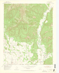
1954 Map of Allison
USGS Topo · Published 1965About this map
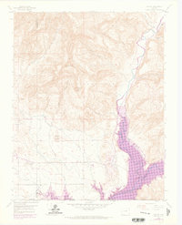
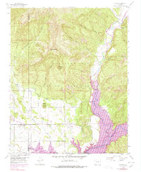
The Southern Ute Indian Reservation dominates this 1954 survey area, where the convergence of rail and river shaped the early twentieth-century economy of Archuleta County. The Denver and Rio Grande Western railroad corridor tracks along the southern border, serving small settlements like Allison and Arboles. This landscape is defined by the engineered movement of water through the Pine River Canal and the North Lateral, supporting agricultural life in the valley floor between Sambito Creek and the Piedra River. Rugged terrain rises toward Piedra Peak and Haystack Mountain in the north, while localized features like Graves and a small Cem reflect the intimate footprint of early settlers and ranching families before the major twentieth-century reservoir projects downstream.
Find a feature on this map
28 named features on this map. Tap any name to fly to it.
Don’t see what you’re looking for? This feature index may not catch every label — zoom into the map to look around manually.
Map Details
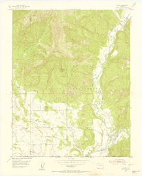
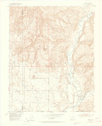
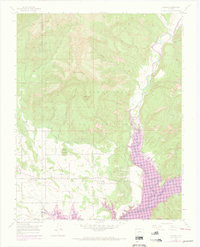
Editions of this 1954 Allison Map
7 editions found
Other maps of this area

1889 · Largo
USGS Topo · 1:250,000

1895 · Largo
USGS Topo · 1:250,000

1908 · Ignacio
USGS Topo · 1:125,000

1924 · Ignacio
USGS Topo · 1:125,000

1924 · Pagosa Springs
USGS Topo · 1:125,000

1927 · Pagosa Springs
USGS Topo · 1:125,000

1945 · Durango
USGS Topo · 1:250,000

1953 · Durango
USGS Topo · 1:250,000

1954 · Durango
USGS Topo · 1:250,000

1954 · Allison
USGS Topo · 1:24,000