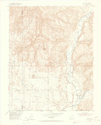
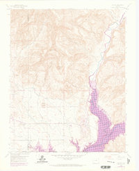
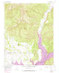
1954 Map of Allison
USGS Topo · Published 1965About this map
The Southern Ute Indian Reservation dominates this mid-century landscape where the Piedra River and San Juan River converge near the Colorado and New Mexico border. The settlement of Allison serves as a local hub, situated near the tracks of the Denver and Rio Grande Western railroad. To the east, the village of Arboles sits at the junction of significant river canyons and rail lines, illustrating the importance of these natural corridors for western transit and trade.
Find a feature on this map
29 named features on this map. Tap any name to fly to it.
Don’t see what you’re looking for? This feature index may not catch every label — zoom into the map to look around manually.
Map Details
Editions of this 1954 Allison Map
7 editions found
Other maps of this area

1889 · Largo
USGS Topo · 1:250,000

1895 · Largo
USGS Topo · 1:250,000

1908 · Ignacio
USGS Topo · 1:125,000

1924 · Ignacio
USGS Topo · 1:125,000

1924 · Pagosa Springs
USGS Topo · 1:125,000

1927 · Pagosa Springs
USGS Topo · 1:125,000

1945 · Durango
USGS Topo · 1:250,000

1953 · Durango
USGS Topo · 1:250,000

1954 · Durango
USGS Topo · 1:250,000

1954 · Allison
USGS Topo · 1:24,000