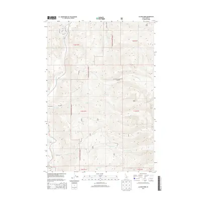
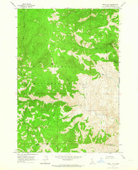
2013 Map of Allison Creek
USGS Topo · Published 2013About this map
The Salmon River cuts through this high-elevation landscape in Lemhi County, serving as the western boundary for the massive Salmon National Forest. This interior region of the Lemhi Range is defined by sharp elevation changes, from the river corridor up to prominent features like Long Ridge. Transportation in the area relies on a network of drainage-following routes such as McKim Creek Rd and Allison Creek Rd, while the presence of Old Stage Rd suggests the historical movement of goods and travelers along the river valley. The map documents numerous ephemeral and perennial water sources, including McKim Cr and Allison Cr, which have carved deep features like the Dry Gulch into the mountain slopes. This 2013 survey provides a clear view of the interface between protected national forest land and the rugged Idaho backcountry.
Find a feature on this map
29 named features on this map. Tap any name to fly to it.
Don’t see what you’re looking for? This feature index may not catch every label — zoom into the map to look around manually.
Map Details
Editions of this 2013 Allison Creek Map
This is the sole edition of this map. No revisions or reprints were ever made.
Other maps of this area

1955 · Dubois
USGS Topo · 1:250,000

1956 · May
USGS Topo · 1:62,500

1956 · Challis
USGS Topo · 1:62,500

1957 · Challis
USGS Topo · 1:250,000

1958 · Dubois
USGS Topo · 1:250,000

1960 · Challis
USGS Topo · 1:250,000
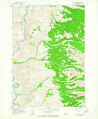
1962 · Allison Creek
USGS Topo · 1:24,000
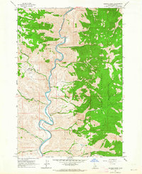
1962 · Goldbug Ridge
USGS Topo · 1:24,000
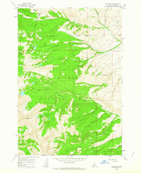
1962 · Lem Peak
USGS Topo · 1:24,000
1962 · Degan Mtn
USGS Topo · 1:24,000