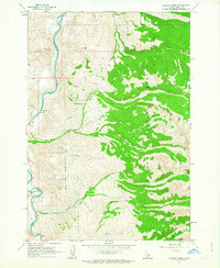
1962 Map of Allison Creek
USGS Topo · Published 1963About this map
The Salmon River carves a deep valley through this Lemhi County landscape, serving as the primary drainage for numerous tributaries like McKim Creek and Allison Creek. High elevation features like Goldbug Ridge and Long Ridge define the eastern terrain within the Salmon National Forest. This 1960s-era survey reveals the utilitarian footprints of mountain life, including scattered prospects and a Gravel Pit near the river’s edge. The distribution of waterways such as Poison Creek and Mud Creek illustrates a complex watershed where steep canyons meet the main river corridor. A network of jeep trails provides the only significant inland access, suggesting a period of limited development focused on resource exploration and forest management.
Find a feature on this map
19 named features on this map. Tap any name to fly to it.
Don’t see what you’re looking for? This feature index may not catch every label — zoom into the map to look around manually.
Map Details
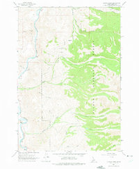
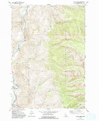
Editions of this 1962 Allison Creek Map
3 editions found
Other maps of this area

1955 · Dubois
USGS Topo · 1:250,000

1956 · May
USGS Topo · 1:62,500

1956 · Challis
USGS Topo · 1:62,500

1957 · Challis
USGS Topo · 1:250,000

1958 · Dubois
USGS Topo · 1:250,000

1960 · Challis
USGS Topo · 1:250,000
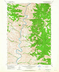
1962 · Goldbug Ridge
USGS Topo · 1:24,000
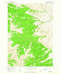
1962 · Lem Peak
USGS Topo · 1:24,000
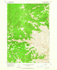
1962 · Degan Mtn
USGS Topo · 1:24,000
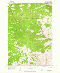
1962 · Poison Peak
USGS Topo · 1:24,000