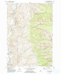
1962 Map of Allison Creek
USGS Topo · Published 1993About this map
The Salmon River carves a deep valley through this Idaho landscape, which was primarily defined by the Salmon National Forest and its drainage systems in the early 1960s. High country dominates the eastern portion of the sheet, where Long Ridge overlooks a complex network of waterways including Poison Creek, Allison Creek, and Mud Creek. Human activity is concentrated along the river corridor and lower elevations, evidenced by scattered Prospects and a Gravel Pit that suggest local mineral exploration and material extraction.
Find a feature on this map
17 named features on this map. Tap any name to fly to it.
Don’t see what you’re looking for? This feature index may not catch every label — zoom into the map to look around manually.
Map Details
Editions of this 1962 Allison Creek Map
3 editions found
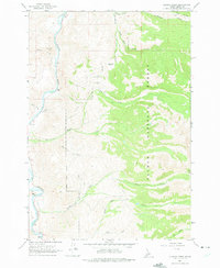
Other maps of this area

1955 · Dubois
USGS Topo · 1:250,000

1956 · May
USGS Topo · 1:62,500

1956 · Challis
USGS Topo · 1:62,500

1957 · Challis
USGS Topo · 1:250,000

1958 · Dubois
USGS Topo · 1:250,000

1960 · Challis
USGS Topo · 1:250,000
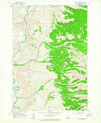
1962 · Allison Creek
USGS Topo · 1:24,000
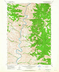
1962 · Goldbug Ridge
USGS Topo · 1:24,000
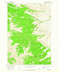
1962 · Lem Peak
USGS Topo · 1:24,000
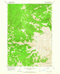
1962 · Degan Mtn
USGS Topo · 1:24,000