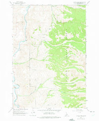
1962 Map of Allison Creek
USGS Topo · Published 1975About this map
The Salmon River carves a deep path through the western edge of this Lemhi County landscape, providing a critical corridor for transport and travel in an otherwise high-elevation wilderness. To the east, the Salmon National Forest dominates the terrain, where numerous drainages like McKim Creek, Allison Creek, and Poison Creek flow westward toward the main river. The land is defined by sharp elevation changes, as seen in the prominent Long Ridge and the South Fork Poison Creek valley.
Find a feature on this map
20 named features on this map. Tap any name to fly to it.
Don’t see what you’re looking for? This feature index may not catch every label — zoom into the map to look around manually.
Map Details
Editions of this 1962 Allison Creek Map
3 editions found
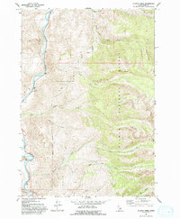
Other maps of this area

1955 · Dubois
USGS Topo · 1:250,000

1956 · May
USGS Topo · 1:62,500

1956 · Challis
USGS Topo · 1:62,500

1957 · Challis
USGS Topo · 1:250,000

1958 · Dubois
USGS Topo · 1:250,000

1960 · Challis
USGS Topo · 1:250,000
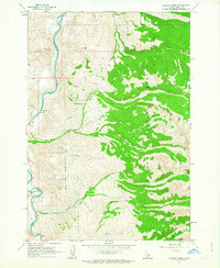
1962 · Allison Creek
USGS Topo · 1:24,000
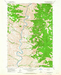
1962 · Goldbug Ridge
USGS Topo · 1:24,000
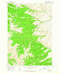
1962 · Lem Peak
USGS Topo · 1:24,000
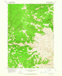
1962 · Degan Mtn
USGS Topo · 1:24,000