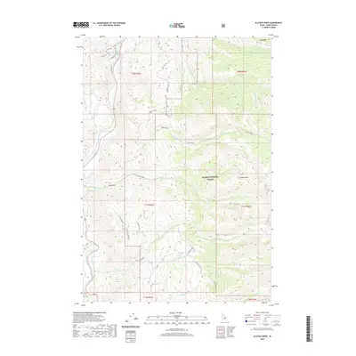
2020 Map of Allison Creek
USGS Topo · Published 2020About this map
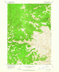
The Salmon National Forest dominates this section of Lemhi County, where the high ridges of the Lemhi Range descend toward the river valley. The Salmon River flows through the western edge of the area, a critical water source that shaped early settlement and transit. Evidence of the region’s ranching and livestock history is preserved at Mckim Stock, situated near the confluence of Mckim Creek and its various tributaries.
Find a feature on this map
34 named features on this map. Tap any name to fly to it.
Don’t see what you’re looking for? This feature index may not catch every label — zoom into the map to look around manually.
Map Details
Editions of this 2020 Allison Creek Map
This is the sole edition of this map. No revisions or reprints were ever made.
Other maps of this area

1955 · Dubois
USGS Topo · 1:250,000

1956 · May
USGS Topo · 1:62,500

1956 · Challis
USGS Topo · 1:62,500

1957 · Challis
USGS Topo · 1:250,000

1958 · Dubois
USGS Topo · 1:250,000

1960 · Challis
USGS Topo · 1:250,000
1962 · Allison Creek
USGS Topo · 1:24,000
1962 · Goldbug Ridge
USGS Topo · 1:24,000
1962 · Lem Peak
USGS Topo · 1:24,000
1962 · Degan Mtn
USGS Topo · 1:24,000