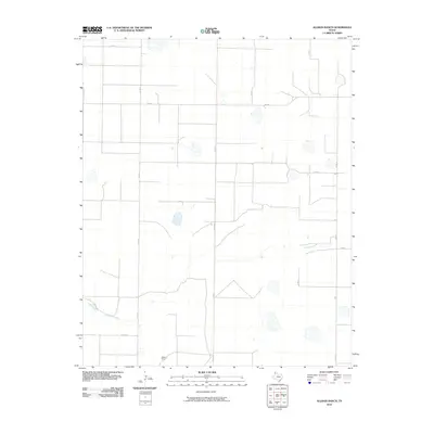
2010 Map of Allison Ranch
USGS Topo · Published 2010About this map
Allison Ranch serves as the primary landmark in this section of the Texas Panhandle, situated within a vast grid of ranching and agricultural access roads. The landscape is defined by the winding course of Palo Duro Creek, which cuts a distinct path through the otherwise structured network of section lines and gravel routes. This 2010 survey illustrates the modern layout of rural Deaf Smith County, where vital transportation arteries like Fm 2587 and Co Rd Ee facilitate movement across the open plains. The map provides a clear look at the intersection of water resources and ranching infrastructure, showing how local land use is dictated by the natural drainage of the creek bed. Local researchers will find the precise placement of ranch buildings and the specific numbering of the county road system, including Co Rd Ff and Co Rd Cc, essential for understanding contemporary property boundaries and rural navigation.
Find a feature on this map
12 named features on this map. Tap any name to fly to it.
Don’t see what you’re looking for? This feature index may not catch every label — zoom into the map to look around manually.
Map Details
Editions of this 2010 Allison Ranch Map
This is the sole edition of this map. No revisions or reprints were ever made.
Other maps of this area

1954 · Tucumcari
USGS Topo · 1:250,000

1954 · Clovis
USGS Topo · 1:250,000

1958 · Clovis
USGS Topo · 1:250,000

1958 · Tucumcari
USGS Topo · 1:250,000

1961 · Buffalo Lake
USGS Topo · 1:62,500

1962 · Wildorado
USGS Topo · 1:62,500

1965 · Everett
USGS Topo · 1:24,000

1965 · Allison Ranch
USGS Topo · 1:24,000

1966 · Vega South
USGS Topo · 1:24,000

1966 · Ford
USGS Topo · 1:24,000