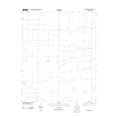
2012 Map of Allison Ranch
USGS Topo · Published 2012About this map
Palo Duro Cr meanders across this high plains landscape in Deaf Smith County, carving a subtle drainage through an otherwise orderly grid of agricultural section lines and cattle operations. The terrain is defined by large-scale ranching, with the Allison Ranch and Conkwright Ranch serving as primary landmarks in this sparsely populated region. A network of county roads, including Co Rd FF and Co Rd EE, provides the essential infrastructure for the rural economy, connecting isolated homesteads and grazing lands. The map illustrates the specialized water management typical of the Panhandle, where numerous small, unnamed depressions and cattle tanks dot the landscape. Major thoroughfares like Ranch Road 2587 cut straight across the flat plains, showing the intersection of modern transportation with traditional Texas ranching heritage.
Find a feature on this map
13 named features on this map. Tap any name to fly to it.
Don’t see what you’re looking for? This feature index may not catch every label — zoom into the map to look around manually.
Map Details
Editions of this 2012 Allison Ranch Map
This is the sole edition of this map. No revisions or reprints were ever made.
Other maps of this area

1954 · Tucumcari
USGS Topo · 1:250,000

1954 · Clovis
USGS Topo · 1:250,000

1958 · Clovis
USGS Topo · 1:250,000

1958 · Tucumcari
USGS Topo · 1:250,000

1961 · Buffalo Lake
USGS Topo · 1:62,500

1962 · Wildorado
USGS Topo · 1:62,500

1965 · Everett
USGS Topo · 1:24,000

1965 · Allison Ranch
USGS Topo · 1:24,000

1966 · Vega South
USGS Topo · 1:24,000

1966 · Ford
USGS Topo · 1:24,000