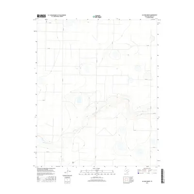
2016 Map of Allison Ranch
USGS Topo · Published 2016About this map
Allison Ranch serves as the primary namesake for this section of the High Plains in Deaf Smith County, illustrating the enduring character of large-scale cattle ranching in the Texas Panhandle. The landscape is defined by the winding course of Palo Duro Cr, which carves a distinct path through the flat terrain, creating topographic relief in an otherwise uniform environment. The local infrastructure relies on a grid of county roads, such as Co RD Ee and Co RD FF, which provide access to remote agricultural holdings and water sources. This 2016 survey documents the modern layout of these rural routes and the persistent presence of the ranching heritage, providing a clear view of how land is managed and partitioned in this western corner of the state.
Find a feature on this map
13 named features on this map. Tap any name to fly to it.
Don’t see what you’re looking for? This feature index may not catch every label — zoom into the map to look around manually.
Map Details
Editions of this 2016 Allison Ranch Map
This is the sole edition of this map. No revisions or reprints were ever made.
Other maps of this area

1954 · Tucumcari
USGS Topo · 1:250,000

1954 · Clovis
USGS Topo · 1:250,000

1958 · Clovis
USGS Topo · 1:250,000

1958 · Tucumcari
USGS Topo · 1:250,000

1961 · Buffalo Lake
USGS Topo · 1:62,500

1962 · Wildorado
USGS Topo · 1:62,500

1965 · Everett
USGS Topo · 1:24,000

1965 · Allison Ranch
USGS Topo · 1:24,000

1966 · Vega South
USGS Topo · 1:24,000

1966 · Ford
USGS Topo · 1:24,000