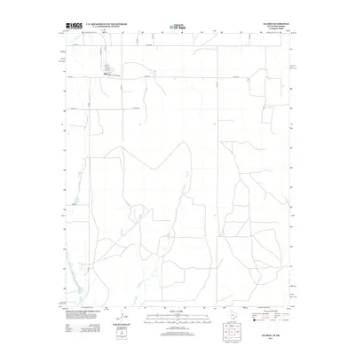
2012 Map of Allison
USGS Topo · Published 2012About this map
The small community of Allison serves as the focal point for this section of Wheeler County near the Oklahoma border. Situated at the junction of FM-277 and Santa Fe Rd, the town site is organized around several numbered streets including 2nd St and 3rd St. The surrounding landscape is defined by the drainage basins of Murtaugh Cr and Williams Cr, which wind through the open territory south of town. A unique hydrological feature, Five Lakes, is tucked away in the southwestern corner, offering a contrast to the geometric grid of county roads like Co Road A and Co Road B. This survey documents the intersection of rural Texas life and the state line at a time when traditional Farm to Market roads still provided the primary lifelines for agricultural commerce.
Find a feature on this map
22 named features on this map. Tap any name to fly to it.
Don’t see what you’re looking for? This feature index may not catch every label — zoom into the map to look around manually.
Map Details
Editions of this 2012 Allison Map
This is the sole edition of this map. No revisions or reprints were ever made.
Other maps of this area

1954 · Amarillo
USGS Topo · 1:250,000

1955 · Clinton
USGS Topo · 1:250,000

1957 · Clinton
USGS Topo · 1:250,000

1958 · Amarillo
USGS Topo · 1:250,000

1960 · Sweetwater
USGS Topo · 1:62,500

1961 · Reydon
USGS Topo · 1:62,500

1963 · Allison
USGS Topo · 1:24,000

1963 · Kelton
USGS Topo · 1:24,000

1963 · Kelton NW
USGS Topo · 1:24,000

1963 · Allison SW
USGS Topo · 1:24,000