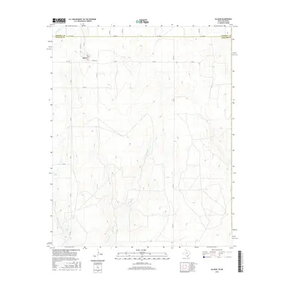
2016 Map of Allison
USGS Topo · Published 2016About this map
Allison sits at the northern edge of Wheeler County, positioned just south of the Hemphill Co line where FM 277 meets FM 1046. This corner of the Texas Panhandle is defined by its drainage systems, where intermittent watercourses like Murtaugh Cr and Hackberry Cr carve through the high plains toward the east. The landscape's hydrology is further detailed by named water sources including Rathjen Springs and the Frye Lakes in the southwest quadrant. A network of country roads, such as Santa Fe Rd and Co Rd 25, connects isolated ranching and agricultural properties. This survey provides a clear look at the rural infrastructure and land management patterns of the modern era, tracing the relationship between the small community center and the surrounding prairie terrain.
Find a feature on this map
21 named features on this map. Tap any name to fly to it.
Don’t see what you’re looking for? This feature index may not catch every label — zoom into the map to look around manually.
Map Details
Editions of this 2016 Allison Map
This is the sole edition of this map. No revisions or reprints were ever made.
Other maps of this area

1954 · Amarillo
USGS Topo · 1:250,000

1955 · Clinton
USGS Topo · 1:250,000

1957 · Clinton
USGS Topo · 1:250,000

1958 · Amarillo
USGS Topo · 1:250,000

1960 · Sweetwater
USGS Topo · 1:62,500

1961 · Reydon
USGS Topo · 1:62,500

1963 · Allison
USGS Topo · 1:24,000

1963 · Kelton
USGS Topo · 1:24,000

1963 · Kelton NW
USGS Topo · 1:24,000

1963 · Allison SW
USGS Topo · 1:24,000