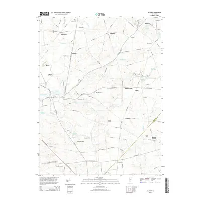
2014 Map of Alloway
USGS Topo · Published 2014About this map
Alloway and its surrounding mill seats define this portion of the New Jersey landscape, where numerous tributaries like Alloway Creek and Cedar Brook once powered local industry. The map reveals a dense network of early settlements and junctions, including Remsterville, Stockington, and Ballingers Mill. Small rural centers such as Friesburg and Aldine are connected by a web of historically named thoroughfares like Commissioners Pike and Telegraph Rd, reflecting the long-established transit patterns of the region.
Find a feature on this map
135 named features on this map. Tap any name to fly to it.
Don’t see what you’re looking for? This feature index may not catch every label — zoom into the map to look around manually.
Map Details
Editions of this 2014 Alloway Map
This is the sole edition of this map. No revisions or reprints were ever made.
Other maps of this area

1890 · Salem
USGS Topo · 1:62,500

1890 · Bay Side
USGS Topo · 1:62,500

1890 · Bridgeton
USGS Topo · 1:62,500

1890 · Glassboro
USGS Topo · 1:62,500

1894 · Bay Side
USGS Topo · 1:62,500

1894 · Bridgeton
USGS Topo · 1:62,500

1898 · Salem
USGS Topo · 1:62,500

1898 · Glassboro
USGS Topo · 1:62,500

1899 · Vineland
USGS Topo · 1:125,000

1901 · Camden
USGS Topo · 1:125,000
Featured Places
- Hopewell Township, NJ
- Quinton Township, NJ
- Alloway Township, NJ
- Mannington Township, NJ
- Upper Pittsgrove Township, NJ