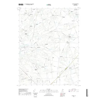
2019 Map of Alloway
USGS Topo · Published 2019About this map
Alloway and its surrounding countryside reflect a landscape deeply tied to the milling and water history of the region. Numerous named mill sites, such as Foxs Mill, Ballingers Mill, and Cobbs Mill, are positioned along a complex network of tributaries including Alloway Creek, Cedar Brook, and Cool Run. These water-powered sites once anchored small rural settlements like Slabtown, Yorktown, and Friesburg, which remain visible today through their local road networks and community landmarks.
Find a feature on this map
146 named features on this map. Tap any name to fly to it.
Don’t see what you’re looking for? This feature index may not catch every label — zoom into the map to look around manually.
Map Details
Editions of this 2019 Alloway Map
This is the sole edition of this map. No revisions or reprints were ever made.
Other maps of this area

1890 · Salem
USGS Topo · 1:62,500

1890 · Bay Side
USGS Topo · 1:62,500

1890 · Bridgeton
USGS Topo · 1:62,500

1890 · Glassboro
USGS Topo · 1:62,500

1894 · Bay Side
USGS Topo · 1:62,500

1894 · Bridgeton
USGS Topo · 1:62,500

1898 · Salem
USGS Topo · 1:62,500

1898 · Glassboro
USGS Topo · 1:62,500

1899 · Vineland
USGS Topo · 1:125,000

1901 · Camden
USGS Topo · 1:125,000
Featured Places
- Hopewell Township, NJ
- Quinton Township, NJ
- Alloway Township, NJ
- Mannington Township, NJ
- Upper Pittsgrove Township, NJ