Loading...
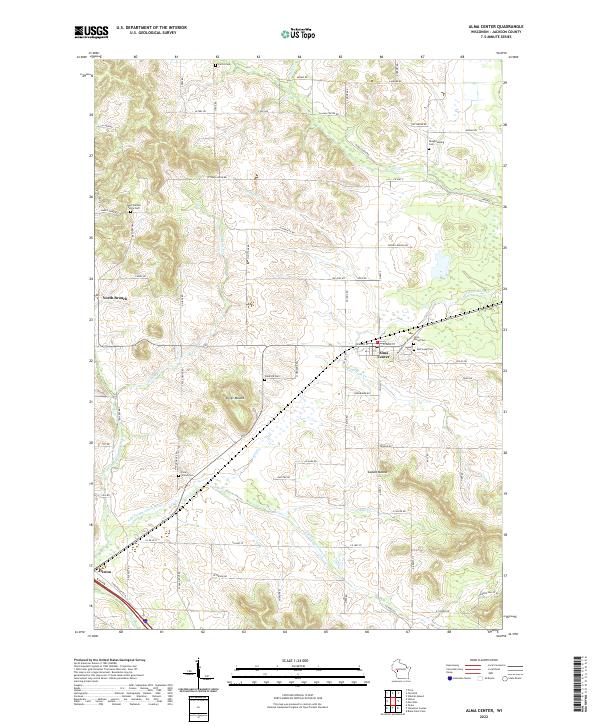
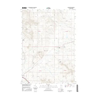
Loading map...2022 Map of Alma Center
USGS Topo · Published 2022About this map
Alma Center serves as the primary hub of this Jackson County landscape, situated at the junction of Alma Center Rd and local routes like W Main St. The village is surrounded by a dense network of local cemeteries, including Saint Marys Cem and East Lawn Cem, which provide significant genealogical touchpoints for the region. To the south, Hixton marks the edge of the survey area, connected by the winding course of the S Br Trempealeau River.
Find a feature on this map
81 named features on this map. Tap any name to fly to it.
Don’t see what you’re looking for? This feature index may not catch every label — zoom into the map to look around manually.
Map Details
Date Portrayed2022
Date Published2022
PublisherU.S. Geological Survey
Map TypeTopographic
Scale1:24,000
Physical Dimensions24 x 29 inches
Editions of this 2022 Alma Center Map
This is the sole edition of this map. No revisions or reprints were ever made.
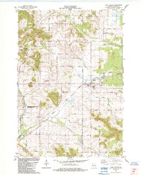
Historical Maps of Alma Center Through Time
6 maps found
Featured Locations
Source Details
SourceU.S. Geological Survey
CopyrightPublic Domain