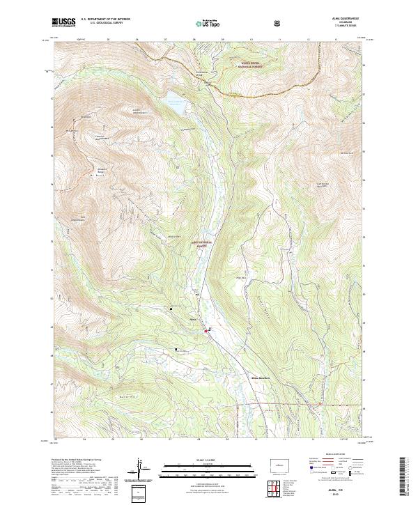
2022 Map of Alma
USGS Topo · Published 2022About this map
Alma and the surrounding high-country mining districts are the focus of this 2022 survey, illustrating a landscape defined by historic hydraulic engineering and alpine terrain. The map traces several significant water-management features, including the Dyer Placer Ditch, Fairplay Mining Ditch, and Columbia Number 1 Ditch, which reflect the area's deep connection to industrial extraction. These man-made channels wind through the valley of the Middle Fork S Platte River, connecting prominent landmarks like Montgomery Reservoir and the Columbia Reservoir.
Find a feature on this map
90 named features on this map. Tap any name to fly to it.
Don’t see what you’re looking for? This feature index may not catch every label — zoom into the map to look around manually.
Map Details
Editions of this 2022 Alma Map
This is the sole edition of this map. No revisions or reprints were ever made.
Other maps of this area

1889 · Leadville
USGS Topo · 1:125,000

1891 · Leadville
USGS Topo · 1:125,000

1934 · Climax
USGS Topo · 1:48,000

1937 · Como
USGS Topo · 1:62,500

1938 · Mt. Lincoln
USGS Topo · 1:48,000

1942 · Leadville
USGS Topo · 1:125,000

1945 · Mount Lincoln
USGS Topo · 1:62,500

1953 · Denver
USGS Topo · 1:250,000

1956 · Fairplay East
USGS Topo · 1:24,000

1957 · Denver
USGS Topo · 1:250,000