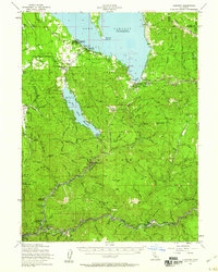
1955 Map of Almanor
USGS Topo · Published 1960About this map
Lake Almanor and the Butt Valley Reservoir dominate this mid-century landscape where industrial engineering meets the timberlands of the Lassen National Forest and Plumas National Forest. The map documents a complex water management and power generation system, marked by the Intake Tower, Surge Chamber, and Powerhouse near Caribou. While the reservoirs reshaped the geography, older layers of human activity remain visible, from the Western Pacific RR corridor through Virgilia and Twain to a scattering of gold and mineral extraction sites.
Find a feature on this map
119 named features on this map. Tap any name to fly to it.
Don’t see what you’re looking for? This feature index may not catch every label — zoom into the map to look around manually.
Map Details
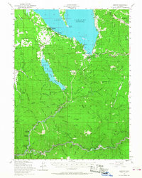
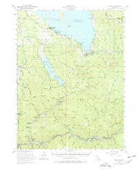
Editions of this 1955 Almanor Map
4 editions found

Other maps of this area

1886 · Honey Lake
USGS Topo · 1:250,000

1886 · Lassen Peak
USGS Topo · 1:250,000

1888 · Bidwell Bar
USGS Topo · 1:125,000

1891 · Bidwell Bar
USGS Topo · 1:125,000

1891 · Downieville
USGS Topo · 1:125,000

1891 · Honey Lake
USGS Topo · 1:250,000

1892 · Lassen Peak
USGS Topo · 1:250,000

1893 · Bidwell Bar
USGS Topo · 1:125,000

1893 · Honey Lake
USGS Topo · 1:250,000

1893 · Downieville
USGS Topo · 1:125,000