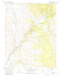
1964 Map of Almont
USGS Topo · Published 1980About this map
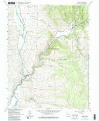
The confluence of the East River and the Taylor River marks the central focus of this landscape, where their waters join to form the Gunnison River. Near this junction lies the settlement of Almont, a local hub for transport and industry as evidenced by the Gaging Sta and nearby Gravel Pit. The map captures the infrastructure of the early 1960s, including the Gunnison High Line Canal and the remnants of an Old Railroad Grade that once paralleled the riverbanks.
Find a feature on this map
34 named features on this map. Tap any name to fly to it.
Don’t see what you’re looking for? This feature index may not catch every label — zoom into the map to look around manually.
Map Details
Editions of this 1964 Almont Map
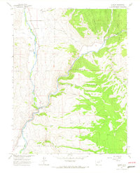
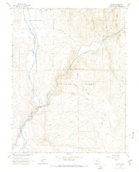
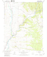
5 editions found
Other maps of this area

1888 · Crested Butte
USGS Topo · 1:62,500

1889 · Crested Butte
USGS Topo · 1:62,500

1893 · Crested Butte
USGS Topo · 1:62,500

1934 · Taylor Park
USGS Topo · 1:62,500

1937 · Taylor Park
USGS Topo · 1:62,500

1941 · Pitkin
USGS Topo · 1:62,500

1945 · Pitkin
USGS Topo · 1:62,500

1954 · Gunnison
USGS Topo · 1:24,000

1956 · Montrose
USGS Topo · 1:250,000

1959 · Montrose
USGS Topo · 1:250,000