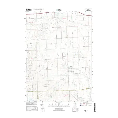
2017 Map of Almont
USGS Topo · Published 2017About this map
The village of Almont and the surrounding agricultural landscape of Lapeer County are defined by a complex network of waterways and early transportation routes. The Belle River meanders across the northern half of the region, supported by various tributaries like the Heenan Drain and Brinker Drain, while the southern reaches are drained by the N Br Clinton River. This 2017 survey reveals the preservation of the Polly Ann State Trail, a recreational artery following a former railroad corridor that connects the settlement of Dryden to the broader landscape. Genealogists will find a wealth of local history preserved in numerous burial grounds, including the Bethany Mennonite Cem, Ferguson Cem, and Mount Pleasant Cem. The map illustrates a rural area where traditional township boundaries—spanning Lapeer, Macomb, and Oakland counties—interface with evolving residential patterns around McNally Lake and Mud Lake.
Find a feature on this map
113 named features on this map. Tap any name to fly to it.
Don’t see what you’re looking for? This feature index may not catch every label — zoom into the map to look around manually.
Map Details
Editions of this 2017 Almont Map
This is the sole edition of this map. No revisions or reprints were ever made.
Other maps of this area

1914 · Armada
USGS Topo · 1:62,500

1928 · Armada
USGS Topo · 1:62,500

1943 · Lake Orion
USGS Topo · 1:24,000

1943 · Romeo
USGS Topo · 1:24,000

1945 · Armada
USGS Topo · 1:24,000

1945 · Almont
USGS Topo · 1:24,000

1945 · Allenton
USGS Topo · 1:24,000

1945 · Thornville
USGS Topo · 1:24,000

1945 · Romeo
USGS Topo · 1:24,000
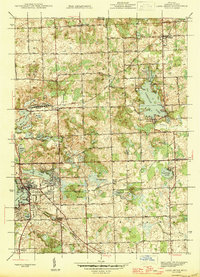
1945 · Lake Orion
USGS Topo · 1:24,000