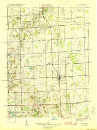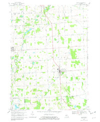
1991 Map of Almont
USGS Topo · Published 1991About this map
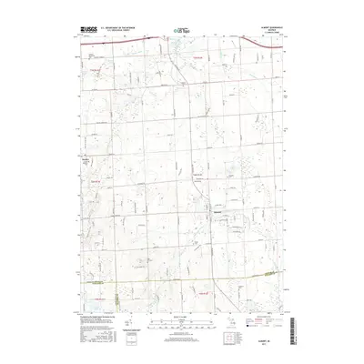
The village of Almont serves as the focal point of this Lapeer County landscape, where the Belle River and the North Branch Clinton River carve through the agricultural terrain. The map captures a transition in local infrastructure, notably marking a Railroad Grade that reflects former transit corridors alongside modern landmarks like the Almont Airport and St Joseph Hospital. In the north, Dryden anchors a region characterized by small water bodies such as Mud Lake and Young Lake, while the expansive Gen Squier Mem Park highlights the community's recreational development. Genealogists will find significant value in the distribution of family and community burial sites, including the Webster Cem, Mt Pleasant Cem, and Ferguson Cem. This 1991 documentation of the Lapeer, Macomb, and Oakland county borders shows the early suburbanization and industrial footprints of the era, such as the Sewage Disposal Plant and several gravel pits.
Find a feature on this map
50 named features on this map. Tap any name to fly to it.
Don’t see what you’re looking for? This feature index may not catch every label — zoom into the map to look around manually.
Map Details
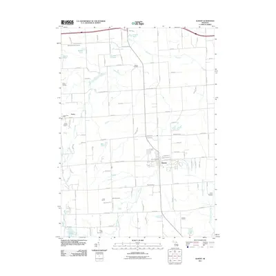
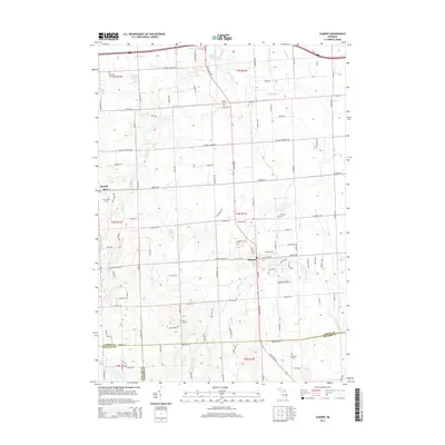
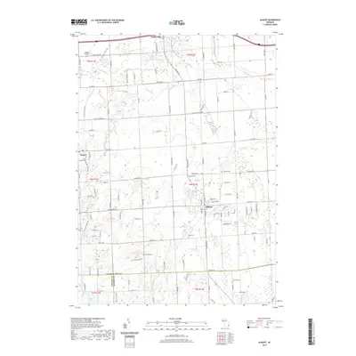
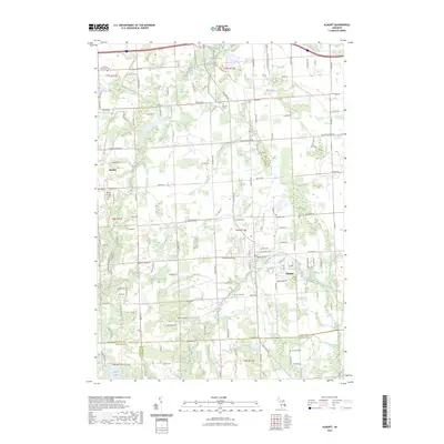
Editions of this 1991 Almont Map
This is the sole edition of this map. No revisions or reprints were ever made.
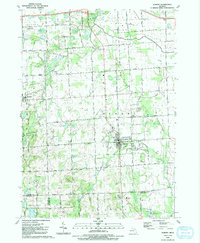
Historical Maps of Addison Township Through Time
8 maps found