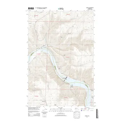
2013 Map of Almota
USGS Topo · Published 2013About this map
Almota and Mayview anchor this region along the canyon-carved banks of the Snake River, where the borders of Whitman and Garfield counties meet. The landscape is defined by its industrial and recreational connection to the water, featuring infrastructure like Port Almota and Boyer Marina. The construction of dams on the river is evidenced by the presence of Lake Bryan and Lower Granite Lake, which have transformed the old river valley into a series of reservoirs.
Find a feature on this map
55 named features on this map. Tap any name to fly to it.
Don’t see what you’re looking for? This feature index may not catch every label — zoom into the map to look around manually.
Map Details
Editions of this 2013 Almota Map
This is the sole edition of this map. No revisions or reprints were ever made.
Other maps of this area

1910 · Pullman
USGS Topo · 1:125,000

1950 · Penawawa
USGS Topo · 1:62,500

1950 · Endicott
USGS Topo · 1:62,500

1955 · Pullman
USGS Topo · 1:250,000

1958 · Pullman
USGS Topo · 1:250,000

1964 · Wilcox
USGS Topo · 1:24,000

1964 · Kirby
USGS Topo · 1:24,000

1964 · Colfax South
USGS Topo · 1:24,000

1964 · Ewartsville
USGS Topo · 1:24,000

1964 · Bishop
USGS Topo · 1:24,000