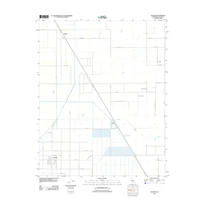
2012 Map of Alpaugh
USGS Topo · Published 2012About this map
Alpaugh and its surrounding agricultural grid dominate this Tulare County landscape, reflecting a highly organized system of irrigation and land division. The presence of the Homeland Canal and numerous irrigation ditches illustrates the transformation of this region into a productive farming district. To the northeast, the Pixley National Wildlife Ref provides a contrast to the geometric agricultural patterns, preserving native habitat along the course of Deer Creek. Small settlements and transit points like Angiola and Stoil sit along the primary road and rail corridors, serving as hubs for the local dairy industry. The map reveals a cluster of specialized facilities including Sousa Farms Dairy, Sierra Valley Dairy, and Deer Creek Dairy, which point to the intensive livestock operations that have long sustained the local economy.
Find a feature on this map
46 named features on this map. Tap any name to fly to it.
Don’t see what you’re looking for? This feature index may not catch every label — zoom into the map to look around manually.
Map Details
Editions of this 2012 Alpaugh Map
This is the sole edition of this map. No revisions or reprints were ever made.
Other maps of this area
1914 · Lost Hills
USGS Topo · 1:125,000
1925 · Tipton
USGS Topo · 1:31,680
1927 · Lake View School
USGS Topo · 1:31,680
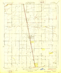
1928 · Tipton
USGS Topo · 1:31,680
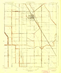
1928 · Corcoran
USGS Topo · 1:31,680
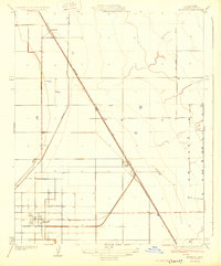
1929 · Alpaugh
USGS Topo · 1:31,680
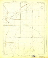
1929 · Hacienda Ranch
USGS Topo · 1:31,680
1929 · Pixley
USGS Topo · 1:31,680
1929 · West Alpaugh
USGS Topo · 1:31,680
1929 · Stone
USGS Topo · 1:31,680