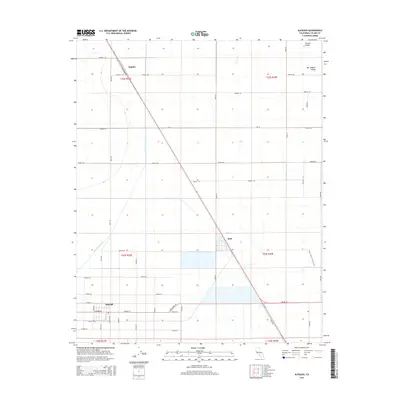
2015 Map of Alpaugh
USGS Topo · Published 2015About this map
Alpaugh anchors this section of the San Joaquin Valley, situated within a landscape defined by an extensive grid of agricultural service roads and water management infrastructure. The settlement of Alpaugh is organized around a traditional street plan, featuring Center Ave, Attwell St, and Boswell Ave. To the north and east, the map traces the rail-aligned hamlets of Angiola and Stoil, both linked by the diagonal corridor of a prominent railway line that cuts across the township grid. This 2015 study illustrates the hydraulic complexity of the Central Valley, where the Homeland Canal and Deer Creek are integrated into a system of section-line roads like Road 64 and Avenue 56. Along the eastern edge, the Pixley Interpretive Trail provides a rare pedestrian corridor amidst the vast industrial acreage of Tulare County.
Find a feature on this map
46 named features on this map. Tap any name to fly to it.
Don’t see what you’re looking for? This feature index may not catch every label — zoom into the map to look around manually.
Map Details
Editions of this 2015 Alpaugh Map
This is the sole edition of this map. No revisions or reprints were ever made.
Other maps of this area

1914 · Lost Hills
USGS Topo · 1:125,000

1925 · Tipton
USGS Topo · 1:31,680

1927 · Lake View School
USGS Topo · 1:31,680

1928 · Tipton
USGS Topo · 1:31,680

1928 · Corcoran
USGS Topo · 1:31,680

1929 · Alpaugh
USGS Topo · 1:31,680

1929 · Hacienda Ranch
USGS Topo · 1:31,680

1929 · Pixley
USGS Topo · 1:31,680

1929 · West Alpaugh
USGS Topo · 1:31,680

1929 · Stone
USGS Topo · 1:31,680