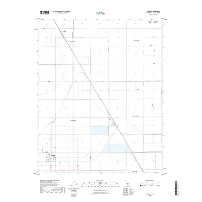
2018 Map of Alpaugh
USGS Topo · Published 2018About this map
The southern San Joaquin Valley landscape of Alpaugh is defined by a grid of agricultural roads and irrigation infrastructure. The settlement of Alpaugh sits at the southwestern corner of the sheet, centered near the Po and defined by a residential cluster along Park Ave and Atwell St. Moving northeast, the Bnsf rail line cuts diagonally across the valley floor, connecting the smaller locales of Stoil and Angiola. The map illustrates the region's managed hydrology, where Deer Creek and the Homeland Canal traverse the flat terrain, alongside man-made features like the Bayou Vista Side Ditch. This 2018 survey provides an exact record of the contemporary field patterns and water management systems that sustain the Central Valley agricultural economy.
Find a feature on this map
32 named features on this map. Tap any name to fly to it.
Don’t see what you’re looking for? This feature index may not catch every label — zoom into the map to look around manually.
Map Details
Editions of this 2018 Alpaugh Map
This is the sole edition of this map. No revisions or reprints were ever made.
Other maps of this area

1914 · Lost Hills
USGS Topo · 1:125,000

1925 · Tipton
USGS Topo · 1:31,680

1927 · Lake View School
USGS Topo · 1:31,680

1928 · Tipton
USGS Topo · 1:31,680

1928 · Corcoran
USGS Topo · 1:31,680

1929 · Alpaugh
USGS Topo · 1:31,680

1929 · Hacienda Ranch
USGS Topo · 1:31,680

1929 · Pixley
USGS Topo · 1:31,680

1929 · West Alpaugh
USGS Topo · 1:31,680

1929 · Stone
USGS Topo · 1:31,680