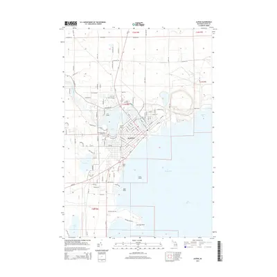
2014 Map of Alpena
USGS Topo · Published 2014About this map
The city of Alpena dominates this 2014 survey, situated where the Thunder Bay River flows into the protected waters of Thunder Bay. The urban core is well-defined, showing the dense network of streets and the prominent Alpena Community Coll campus. For those tracing local heritage, a significant cluster of burial grounds is located west of the river, including Evergreen Cem, Pine Grove Cem, and Hebrew Benevolent Society Cem, alongside Grace Lutheran Cem and Holy Cross Cem.
Find a feature on this map
117 named features on this map. Tap any name to fly to it.
Don’t see what you’re looking for? This feature index may not catch every label — zoom into the map to look around manually.
Map Details
Editions of this 2014 Alpena Map
This is the sole edition of this map. No revisions or reprints were ever made.
Other maps of this area

1954 · Tawas City
USGS Topo · 1:250,000

1954 · Alpena
USGS Topo · 1:250,000

1957 · Alpena
USGS Topo · 1:250,000

1958 · Alpena
USGS Topo · 1:250,000

1958 · Tawas City
USGS Topo · 1:250,000

1969 · Alpena
USGS Topo · 1:250,000

1971 · Lake Winyah
USGS Topo · 1:24,000

1971 · Long Lake West
USGS Topo · 1:24,000

1971 · Alpena
USGS Topo · 1:24,000

1971 · Middle Island
USGS Topo · 1:24,000