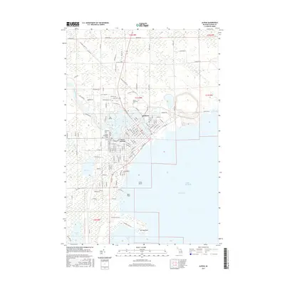
2017 Map of Alpena
USGS Topo · Published 2017About this map
The Alpena waterfront dominates this landscape where the Thunder Bay River empties into Lake Huron. The city's grid is dense with history, particularly on the west side where a cluster of burial grounds including Evergreen Cem, Hebrew Cem, and the Benevolent Society Cem reflect the community's diverse heritage. To the north, the river is widened into Lake Besser, while the N Eastern State Trail follows the corridor of former rail lines, tracing the industrial roots of the region.
Find a feature on this map
143 named features on this map. Tap any name to fly to it.
Don’t see what you’re looking for? This feature index may not catch every label — zoom into the map to look around manually.
Map Details
Editions of this 2017 Alpena Map
This is the sole edition of this map. No revisions or reprints were ever made.
Other maps of this area

1954 · Tawas City
USGS Topo · 1:250,000

1954 · Alpena
USGS Topo · 1:250,000

1957 · Alpena
USGS Topo · 1:250,000

1958 · Alpena
USGS Topo · 1:250,000

1958 · Tawas City
USGS Topo · 1:250,000

1969 · Alpena
USGS Topo · 1:250,000

1971 · Lake Winyah
USGS Topo · 1:24,000

1971 · Long Lake West
USGS Topo · 1:24,000

1971 · Alpena
USGS Topo · 1:24,000

1971 · Middle Island
USGS Topo · 1:24,000