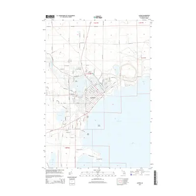
1954 Map of Alpena
USGS Topo · Published 1981About this map
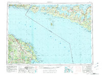
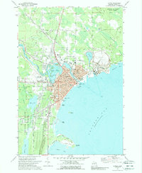
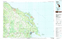
Lake Huron defines the vast maritime boundary of this northern frontier, where the international border separates the Michigan mainland from the sprawling reaches of Manitoulin Island and Cockburn Island. The industrial pulse of the Michigan shore is centered on Alpena and Rogers City, with the Detroit and Mackinac RR skirting the coastline to serve the region's timber and limestone resources, evidenced by the large Quarry near Adams Point.
Find a feature on this map
95 named features on this map. Tap any name to fly to it.
Don’t see what you’re looking for? This feature index may not catch every label — zoom into the map to look around manually.
Map Details
Editions of this 1954 Alpena Map
2 editions found

Historical Maps of Alpena Through Time
11 maps found
1954 Alpena
Alpena County, MI

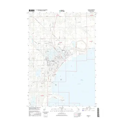
1957 Alpena
Alpena County, MI

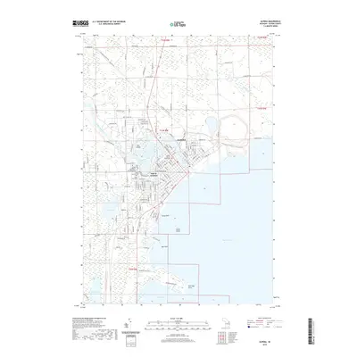
1958 Alpena
Alpena County, MI

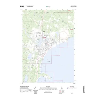
1969 Alpena
Alpena County, MI
1971 Alpena
Alpena County, MI
1984 Alpena
Alpena County, MI
2011 Alpena
Alpena County, MI
2014 Alpena
Alpena County, MI
2017 Alpena
Alpena County, MI
2019 Alpena
Alpena County, MI
2023 Alpena
Alpena County, MI