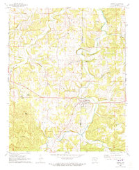
1972 Map of Alpena
USGS Topo · Published 1973About this map
The border of Carroll and Boone counties bisects this 1970s survey, highlighting the settlement of Alpena and the historic community of Carrollton. The landscape is defined by the winding course of Long Creek and its many tributaries, including Sycamore Creek and Terrapin Creek. A notable legacy of early transportation is visible in the Old Railroad Grade that cuts across the terrain near Hough and Coin.
Find a feature on this map
35 named features on this map. Tap any name to fly to it.
Don’t see what you’re looking for? This feature index may not catch every label — zoom into the map to look around manually.
Map Details
Editions of this 1972 Alpena Map
This is the sole edition of this map. No revisions or reprints were ever made.
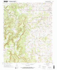
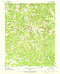
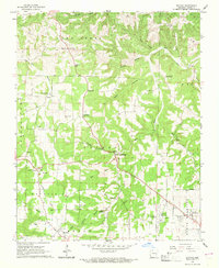
Other maps of this area

1904 · Harrison
USGS Topo · 1:125,000

1905 · Harrison
USGS Topo · 1:125,000

1945 · Harrison
USGS Topo · 1:250,000

1949 · Harrison
USGS Topo · 1:250,000

1954 · Harrison
USGS Topo · 1:250,000

1958 · Harrison
USGS Topo · 1:250,000

1964 · Harrison
USGS Topo · 1:250,000
1967 · Gaither
USGS Topo · 1:24,000
1967 · Omaha
USGS Topo · 1:24,000
1967 · Batavia
USGS Topo · 1:24,000