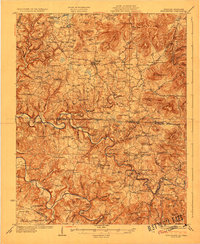
1956 Map of Alpine
USGS Topo · Published 1957About this map
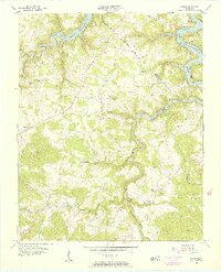
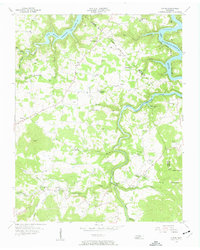
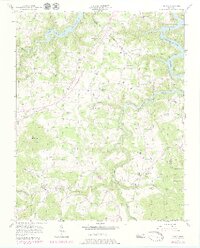
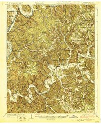
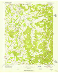
The Dale Hollow Reservoir dominates the northern and central landscape of this mid-century survey, with the West Fork Dale Hollow Reservoir carving a deep path through the highland terrain. The map captures a moment of established rural life in the Upper Cumberland region, centered around small crossroads such as Wirmingham, Alpine, and Monroe. The settlement patterns here are defined by the winding creek valleys, with communities like Ivyton and Cowan situated along West Fork and its tributaries.
Find a feature on this map
53 named features on this map. Tap any name to fly to it.
Don’t see what you’re looking for? This feature index may not catch every label — zoom into the map to look around manually.
Map Details
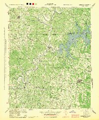
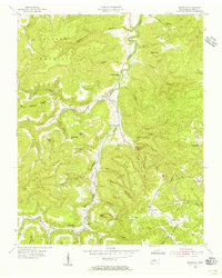
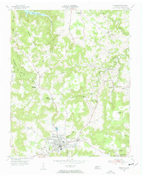
Editions of this 1956 Alpine Map
3 editions found
Other maps of this area

1897 · Standingstone
USGS Topo · 1:125,000

1898 · Standingstone
USGS Topo · 1:125,000

1924 · Lillydale
USGS Topo · 1:62,500

1926 · Lillydale
USGS Topo · 1:62,500
1929 · Lillydale
USGS Topo · 1:62,500
1929 · Byrdstown
USGS Topo · 1:62,500
1944 · Livingston
USGS Topo · 1:24,000
1954 · Crawford
USGS Topo · 1:24,000
1955 · Livingston
USGS Topo · 1:24,000
1955 · Okalona
USGS Topo · 1:24,000