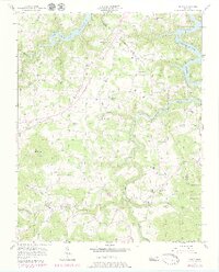
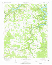
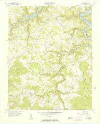
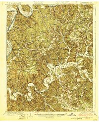
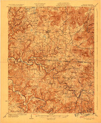
1956 Map of Alpine
USGS Topo · Published 1979About this map
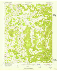
Dale Hollow Lake and the winding West Fork of the Obey River dominate this landscape on the border of Pickett and Overton Counties. The map reveals a mid-century rural Tennessee community shaped by the rising waters of the reservoir, which are subject to controlled inundation. Higher ground is dotted with small family settlements and namesake landmarks such as Wirmingham, Monroe, and Alpine. The abundance of local burial grounds, including Winningham Cem, Green Hill Cem, and Red Hill Cem, indicates a long-settled population with deep genealogical roots in the hollows. Evidence of local civic life is found in numerous rural congregations like Bethsadie Ch and the Joppa Sch, while the Pilot Lookout Tower stands as a prominent high-point landmark overlooking the intricate network of Nettlecarrier Creek and Eagle Creek.
Find a feature on this map
55 named features on this map. Tap any name to fly to it.
Don’t see what you’re looking for? This feature index may not catch every label — zoom into the map to look around manually.
Map Details
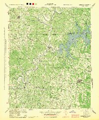
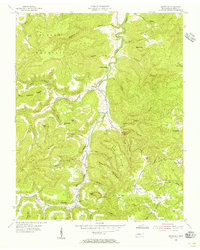
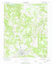
Editions of this 1956 Alpine Map
3 editions found
Other maps of this area

1897 · Standingstone
USGS Topo · 1:125,000

1898 · Standingstone
USGS Topo · 1:125,000

1924 · Lillydale
USGS Topo · 1:62,500

1926 · Lillydale
USGS Topo · 1:62,500
1929 · Lillydale
USGS Topo · 1:62,500
1929 · Byrdstown
USGS Topo · 1:62,500
1944 · Livingston
USGS Topo · 1:24,000
1954 · Crawford
USGS Topo · 1:24,000
1955 · Livingston
USGS Topo · 1:24,000
1955 · Okalona
USGS Topo · 1:24,000