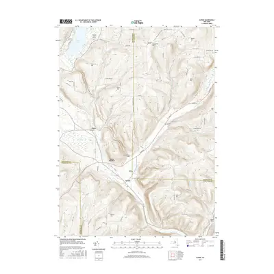
2016 Map of Alpine
USGS Topo · Published 2016About this map
Cayuta Lake sits at the northern edge of this landscape, its waters feeding into Cayuta Creek as it winds south through a corridor of dramatic terrain. This region is defined by deep valleys like The Gulf and Hendershot Gulf, where the land drops away from high points such as Connecticut Hill and VanLone Hill. The settlement at Alpine Junction serves as a meeting point for local transit, situated just north of the Pony Hollow valley.
Find a feature on this map
77 named features on this map. Tap any name to fly to it.
Don’t see what you’re looking for? This feature index may not catch every label — zoom into the map to look around manually.
Map Details
Editions of this 2016 Alpine Map
This is the sole edition of this map. No revisions or reprints were ever made.
Other maps of this area

1893 · Ithaca
USGS Topo · 1:62,500

1895 · Ithaca
USGS Topo · 1:62,500

1895 · Elmira
USGS Topo · 1:62,500

1898 · Watkins Glen
USGS Topo · 1:62,500

1901 · Watkins
USGS Topo · 1:62,500

1902 · Waverly
USGS Topo · 1:62,500

1905 · Watkins Glen
USGS Topo · 1:125,000

1949 · Ithaca West
USGS Topo · 1:24,000

1950 · Elmira
USGS Topo · 1:250,000

1950 · Alpine
USGS Topo · 1:24,000