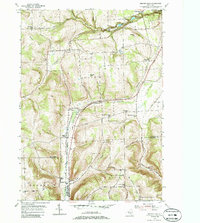
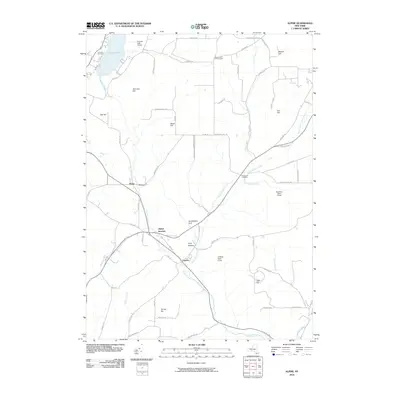
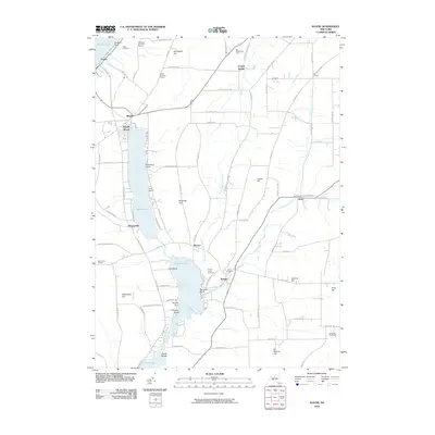
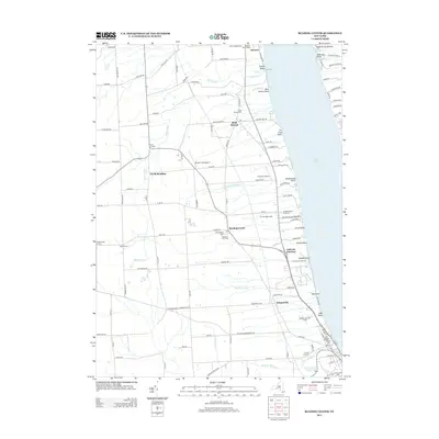
1950 Map of Alpine
USGS Topo · Published 1964About this map
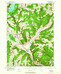
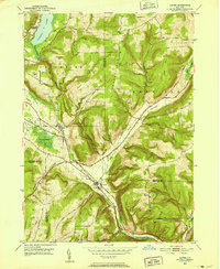
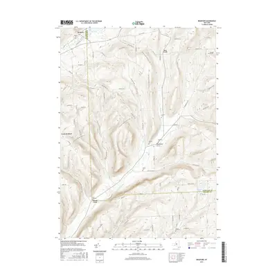
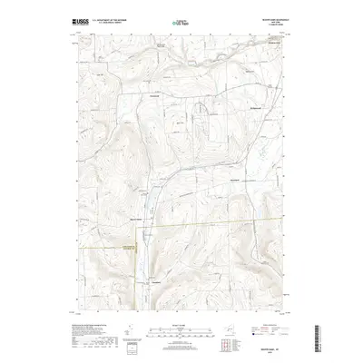
Lehigh Valley rail lines dictate the human geography of this mid-century New York landscape, threading through the narrow valleys of Pony Hollow and the Cayuta Creek corridor. The topography is defined by high elevations like Connecticut Hill and Swan Hill that surround deep glens such as Hendershot Gulf and The Gulf. The settlement of Alpine serves as a primary hub, while the smaller Alpine Junction marks where transportation routes converge before heading toward the waters of Lake Cayuta. Local history is anchored by the Lawrence Memorial Chapel on the lake's western shore and the presence of a Fish Hatchery near the Schuyler and Tompkins County line. The map captures a moment when rural industry and transit relied heavily on these specific gaps in the Finger Lakes region's upland terrain.
Find a feature on this map
37 named features on this map. Tap any name to fly to it.
Don’t see what you’re looking for? This feature index may not catch every label — zoom into the map to look around manually.
Map Details
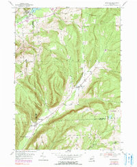
Editions of this 1950 Alpine Map
2 editions found
Historical Maps of Newfield Through Time
32 maps found
1901 Watkins
Schuyler County, NY
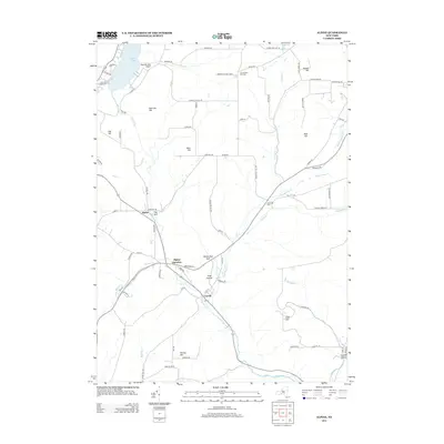
1950 Alpine
Schuyler County, NY
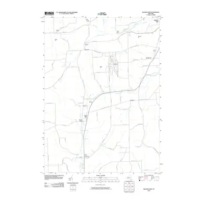
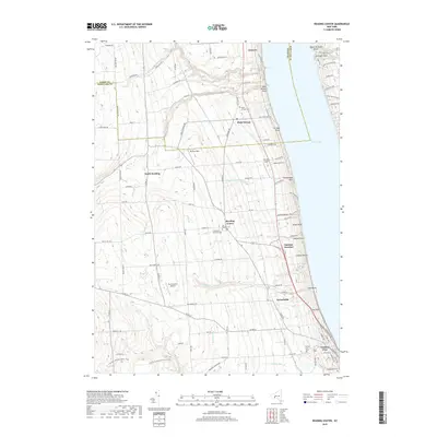
1950 Reading Center
Schuyler County, NY
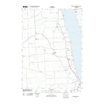
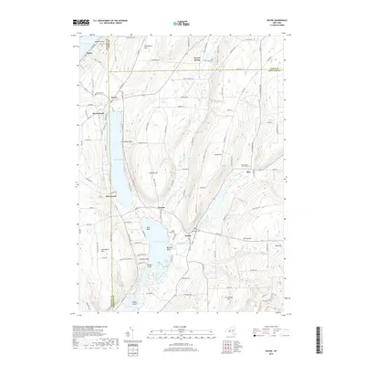
1953 Beaver Dams
Schuyler County, NY
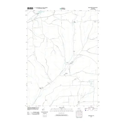
1953 Bradford
Schuyler County, NY
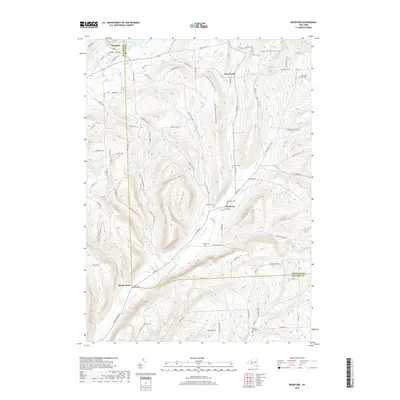
1953 Wayne
Schuyler County, NY
1969 Alpine
Schuyler County, NY
2010 Alpine
Schuyler County, NY
2010 Beaver Dams
Schuyler County, NY
2010 Bradford
Schuyler County, NY
2010 Reading Center
Schuyler County, NY
2010 Wayne
Schuyler County, NY
2013 Alpine
Schuyler County, NY
2013 Beaver Dams
Schuyler County, NY
2013 Bradford
Schuyler County, NY
2013 Reading Center
Schuyler County, NY
2013 Wayne
Schuyler County, NY
2016 Alpine
Schuyler County, NY
2016 Beaver Dams
Schuyler County, NY
2016 Bradford
Schuyler County, NY
2016 Reading Center
Schuyler County, NY
2016 Wayne
Schuyler County, NY
2019 Alpine
Schuyler County, NY
2019 Beaver Dams
Schuyler County, NY
2019 Bradford
Schuyler County, NY
2019 Reading Center
Schuyler County, NY
2019 Wayne
Schuyler County, NY

2023 Alpine
Schuyler County, NY

2023 Beaver Dams
Schuyler County, NY

2023 Bradford
Schuyler County, NY

2023 Reading Center
Schuyler County, NY

2023 Wayne
Schuyler County, NY