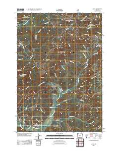
2011 Map of Alsea
USGS Topo · Published 2011About this map
Alsea sits at the confluence of the North Fork Alsea River and the main stem of the Alsea River, serving as a central hub for this corner of Benton County. The landscape is defined by the steep timbered rises of the Coast Range, including landmarks like Old Blue Mountain, Doe Mountain, and Maddsens Knob. This 2011 survey documents a community tied deeply to its waterways and forest access, with the Alsea River Hatchery located upstream and the Alsea Post Office and Alsea Cemetery marking the town's social and historical core.
Find a feature on this map
60 named features on this map. Tap any name to fly to it.
Don’t see what you’re looking for? This feature index may not catch every label — zoom into the map to look around manually.
Map Details
Editions of this 2011 Alsea Map
This is the sole edition of this map. No revisions or reprints were ever made.
Other maps of this area

1921 · Corvallis
USGS Topo · 1:62,500

1922 · Monroe
USGS Topo · 1:62,500

1939 · Marys Peak
USGS Topo · 1:62,500

1939 · Monroe
USGS Topo · 1:62,500

1942 · Marys Peak
USGS Topo · 1:62,500

1942 · Alsea
USGS Topo · 1:62,500

1942 · Monroe
USGS Topo · 1:62,500

1942 · Corvallis
USGS Topo · 1:62,500

1953 · Salem
USGS Topo · 1:250,000

1954 · Salem
USGS Topo · 1:250,000