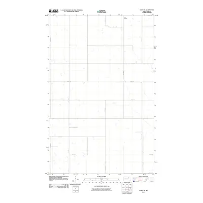
2011 Map of Alsen SE
USGS Topo · Published 2011About this map
Loma Cemetery sits as a lonely landmark in the northern reaches of this North Dakota landscape, reflecting the long-established pattern of rural burial grounds serving isolated farming communities. This 2011 survey illustrates the rigid section-line grid that dictates the region's geography, with thoroughfares such as 80th St NE and 97th Ave NE carving the prairie into precise square-mile increments. The network of local roads, including 94th Ave NE and 99th Ave NE, facilitates a transport system designed for heavy agriculture and sparse residency. In a landscape defined more by its methodical organization than by dense settlements, these named intersections and the solitary cemetery provide the essential points of reference for local history and genealogical research in this part of Cavalier County.
Find a feature on this map
15 named features on this map. Tap any name to fly to it.
Don’t see what you’re looking for? This feature index may not catch every label — zoom into the map to look around manually.
Map Details
Editions of this 2011 Alsen SE Map
This is the sole edition of this map. No revisions or reprints were ever made.
Other maps of this area

1953 · Devils Lake
USGS Topo · 1:250,000

1956 · Devils Lake
USGS Topo · 1:250,000

1970 · Alsen
USGS Topo · 1:24,000

1970 · Loma
USGS Topo · 1:24,000

1970 · Alsen SE
USGS Topo · 1:24,000

1970 · Hampden
USGS Topo · 1:24,000

1972 · Derrick NW
USGS Topo · 1:24,000

1972 · Derrick
USGS Topo · 1:24,000

1972 · Edmore
USGS Topo · 1:24,000

1972 · Billings Lake
USGS Topo · 1:24,000