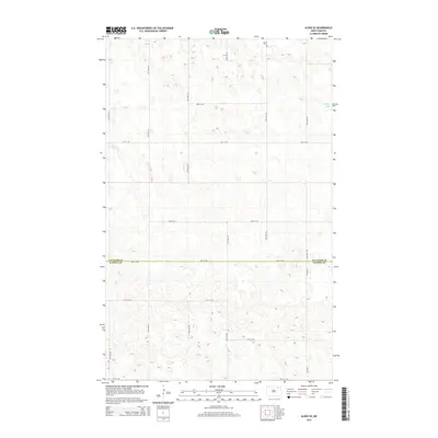
2014 Map of Alsen SE
USGS Topo · Published 2014About this map
The Cavalier Co and Ramsey Co border defines the southern portion of this landscape, marking a transition in the North Dakota prairie. In the far northern reach, the Loma Cem stands near the outskirts of the namesake community, providing a key point of reference for genealogists and local historians. This 2014 survey reveals a strictly organized grid of agricultural roads, such as 94th Ave NE and 75th St NE, that segment the terrain into precise sections. In the eastern portion of the quadrangle, Billings Lake serves as a primary hydrological feature in an otherwise high, rolling plain. The network of local routes, including Co Road 4, illustrates the enduring structure of the region's rural township system.
Find a feature on this map
17 named features on this map. Tap any name to fly to it.
Don’t see what you’re looking for? This feature index may not catch every label — zoom into the map to look around manually.
Map Details
Editions of this 2014 Alsen SE Map
This is the sole edition of this map. No revisions or reprints were ever made.
Other maps of this area

1953 · Devils Lake
USGS Topo · 1:250,000

1956 · Devils Lake
USGS Topo · 1:250,000

1970 · Alsen
USGS Topo · 1:24,000

1970 · Loma
USGS Topo · 1:24,000

1970 · Alsen SE
USGS Topo · 1:24,000

1970 · Hampden
USGS Topo · 1:24,000

1972 · Derrick NW
USGS Topo · 1:24,000

1972 · Derrick
USGS Topo · 1:24,000

1972 · Edmore
USGS Topo · 1:24,000

1972 · Billings Lake
USGS Topo · 1:24,000