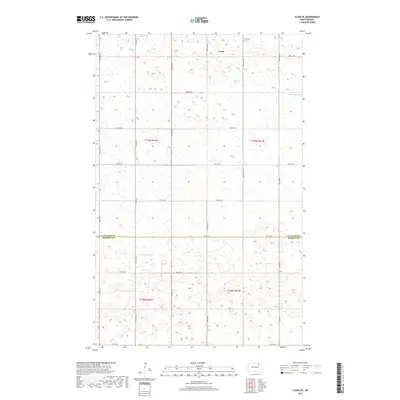
2017 Map of Alsen SE
USGS Topo · Published 2017About this map
Loma sits near the northern edge of this high plains landscape, situated within a grid of section lines and gravel roads that define the region's agricultural character. This map documents a specific moment in the rural geography of the Red River Valley hinterlands, showing the small settlement just west of the Loma Cem. To the east, the waters of Billings Lake occupy a natural depression, one of several wetland features common to this glaciated terrain. The boundary line between Cavalier County and Ramsey County bisects the lower third of the quadrangle, primarily following 78th St NE and Co Rd 32. This intersection of county lines and township boundaries like t159n r62w illustrates the precise Public Land Survey System layout used to organize the North Dakota prairie.
Find a feature on this map
25 named features on this map. Tap any name to fly to it.
Don’t see what you’re looking for? This feature index may not catch every label — zoom into the map to look around manually.
Map Details
Editions of this 2017 Alsen SE Map
This is the sole edition of this map. No revisions or reprints were ever made.
Other maps of this area

1953 · Devils Lake
USGS Topo · 1:250,000

1956 · Devils Lake
USGS Topo · 1:250,000

1970 · Alsen
USGS Topo · 1:24,000

1970 · Loma
USGS Topo · 1:24,000

1970 · Alsen SE
USGS Topo · 1:24,000

1970 · Hampden
USGS Topo · 1:24,000

1972 · Derrick NW
USGS Topo · 1:24,000

1972 · Derrick
USGS Topo · 1:24,000

1972 · Edmore
USGS Topo · 1:24,000

1972 · Billings Lake
USGS Topo · 1:24,000