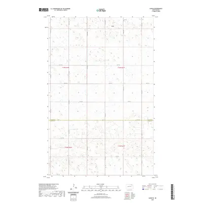
2020 Map of Alsen SE
USGS Topo · Published 2020About this map
Loma anchors the northern portion of this prairie landscape, situated near the boundary where the townships of T159N R61W and T159N R62W meet. The area is defined by its agricultural grid, marked by a network of sectional roads such as 81st St NE and 80th St NE. A significant geopolitical boundary, the Cavalier Co Ramsey Co line, bisects the southern half of the map along 78th St NE, illustrating how county borders were superimposed on the natural terrain. Outside the small settlement of Loma, the Loma Cem stands as a focal point for genealogical interest. The landscape is characterized by numerous small depressions and wetlands, indicating the glacial pothole geography typical of this region of North Dakota, which influenced the placement of both roads and homesteads.
Find a feature on this map
15 named features on this map. Tap any name to fly to it.
Don’t see what you’re looking for? This feature index may not catch every label — zoom into the map to look around manually.
Map Details
Editions of this 2020 Alsen SE Map
This is the sole edition of this map. No revisions or reprints were ever made.
Other maps of this area

1953 · Devils Lake
USGS Topo · 1:250,000

1956 · Devils Lake
USGS Topo · 1:250,000

1970 · Alsen
USGS Topo · 1:24,000

1970 · Loma
USGS Topo · 1:24,000

1970 · Alsen SE
USGS Topo · 1:24,000

1970 · Hampden
USGS Topo · 1:24,000

1972 · Derrick NW
USGS Topo · 1:24,000

1972 · Derrick
USGS Topo · 1:24,000

1972 · Edmore
USGS Topo · 1:24,000

1972 · Billings Lake
USGS Topo · 1:24,000