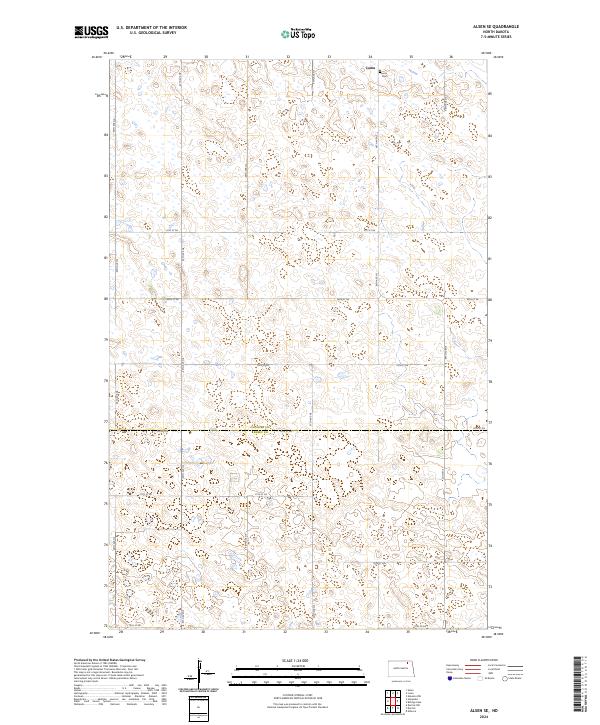
2024 Map of Alsen SE
USGS Topo · Published 2024About this map
Loma sits at the northern edge of this North Dakota landscape, where the prairie is defined by a dense network of seasonal wetlands and conservation lands. The map illustrates a strictly surveyed grid of section lines and gravel roads, including 98th Ave NE and 81st St NE, which connect isolated farmsteads across the border of Cavalier and Ramsey Counties. A significant portion of the terrain is dedicated to wildlife management, with numerous tracts of the Cavalier County Waterfowl Production Area and the Ramsey County Waterfowl Production Area preserved among the potholes. These protected zones, sometimes labeled simply as CC Wpa or Ccwpa, highlight the region's importance as a migratory habitat. Local history is anchored at the Loma Cem, providing a genealogical focal point for the surrounding rural community.
Find a feature on this map
27 named features on this map. Tap any name to fly to it.
Don’t see what you’re looking for? This feature index may not catch every label — zoom into the map to look around manually.
Map Details
Editions of this 2024 Alsen SE Map
This is the sole edition of this map. No revisions or reprints were ever made.
Other maps of this area

1953 · Devils Lake
USGS Topo · 1:250,000

1956 · Devils Lake
USGS Topo · 1:250,000

1970 · Alsen
USGS Topo · 1:24,000

1970 · Loma
USGS Topo · 1:24,000

1970 · Alsen SE
USGS Topo · 1:24,000

1970 · Hampden
USGS Topo · 1:24,000

1972 · Derrick NW
USGS Topo · 1:24,000

1972 · Derrick
USGS Topo · 1:24,000

1972 · Edmore
USGS Topo · 1:24,000

1972 · Billings Lake
USGS Topo · 1:24,000