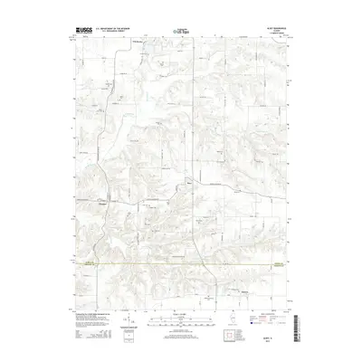
2015 Map of Alsey
USGS Topo · Published 2015About this map
Winchester and Alsey serve as the primary hubs in this Scott County landscape, where the terrain is defined by the winding paths of Big Sandy Creek and the N Little Sandy Cr. The area is notably dense with family-named burial grounds, providing a significant resource for genealogical research. Sites such as Cowhick Cem, Perkins Cem, and Wilson Farm Cem are scattered across the rural acreage, often tucked away near drainage features like Clay Hollow. Small settlements like Glasgow and Barrow anchor the southern reaches of the map near the Scott and Greene county line. The transition from the upland farms to the creek bottoms is navigated by a network of local roads including Winchester Glasgow Rd and Ansley Glasgow Rd, which connect the scattered homesteads and cemeteries to the larger village centers and the waters of Alsey Lake.
Find a feature on this map
81 named features on this map. Tap any name to fly to it.
Don’t see what you’re looking for? This feature index may not catch every label — zoom into the map to look around manually.
Map Details
Editions of this 2015 Alsey Map
This is the sole edition of this map. No revisions or reprints were ever made.
Other maps of this area

1924 · Winchester
USGS Topo · 1:48,000

1924 · Roodhouse
USGS Topo · 1:62,500

1924 · Griggsville
USGS Topo · 1:62,500

1926 · Griggsville
USGS Topo · 1:62,500

1926 · Winchester
USGS Topo · 1:62,500

1926 · Roodhouse
USGS Topo · 1:62,500

1930 · Pearl
USGS Topo · 1:62,500

1948 · Quincy
USGS Topo · 1:250,000

1950 · Pearl
USGS Topo · 1:62,500

1956 · Quincy
USGS Topo · 1:250,000