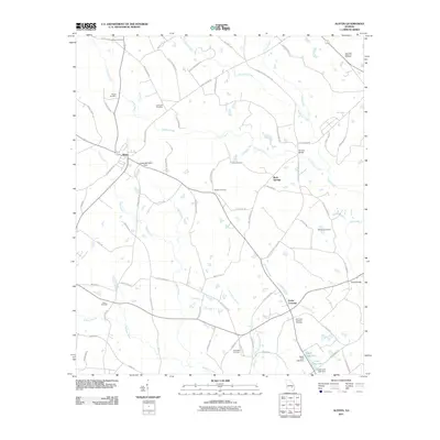
2011 Map of Alston
USGS Topo · Published 2011About this map
Alston and Cedar Crossing anchor this landscape of meandering watercourses and family burial grounds in south-central Georgia. The terrain is defined by a dense network of creek systems, including the serpentine Oconee Creek and the smaller Alligator Creek and Little Alligator Creek branches that drain the low-lying agricultural lands. This survey provides significant detail for genealogists, documenting numerous local resting places such as the Sharpe Cemetery, Williams Cemetery, and the Old Cedar Crossing Cemetery.
Find a feature on this map
74 named features on this map. Tap any name to fly to it.
Don’t see what you’re looking for? This feature index may not catch every label — zoom into the map to look around manually.
Map Details
Editions of this 2011 Alston Map
This is the sole edition of this map. No revisions or reprints were ever made.
Other maps of this area

1953 · Waycross
USGS Topo · 1:250,000

1957 · Macon
USGS Topo · 1:250,000

1958 · Macon
USGS Topo · 1:250,000

1958 · Waycross
USGS Topo · 1:250,000

1964 · Macon
USGS Topo · 1:250,000

1970 · Johnson Corner
USGS Topo · 1:24,000

1970 · Alston
USGS Topo · 1:24,000

1970 · Mount Vernon
USGS Topo · 1:24,000

1970 · Vidalia
USGS Topo · 1:24,000

1970 · Uvalda
USGS Topo · 1:24,000