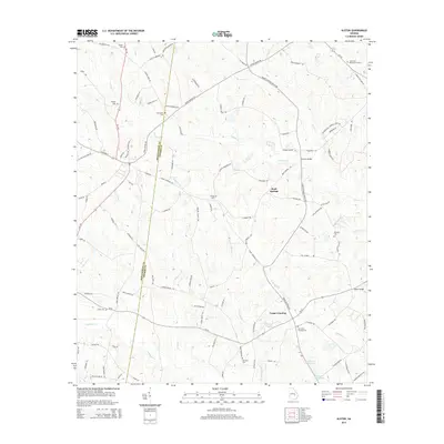
2014 Map of Alston
USGS Topo · Published 2014About this map
The Montgomery Co Toombs Co line divides this landscape of south Georgia, where the winding course of the Oconee Cr and its many tributaries define the rural layout. Small settlements like Cedar Crossing and Rock Springs anchor the area, connected by a network of backroads often named for local families. Genealogists will find significant value in the distribution of family burial grounds, including the Sharpe Cem, Galbreath Cem, and Williams Cem, which sit scattered across the agricultural and wooded terrain.
Find a feature on this map
105 named features on this map. Tap any name to fly to it.
Don’t see what you’re looking for? This feature index may not catch every label — zoom into the map to look around manually.
Map Details
Editions of this 2014 Alston Map
This is the sole edition of this map. No revisions or reprints were ever made.
Other maps of this area

1953 · Waycross
USGS Topo · 1:250,000

1957 · Macon
USGS Topo · 1:250,000

1958 · Macon
USGS Topo · 1:250,000

1958 · Waycross
USGS Topo · 1:250,000

1964 · Macon
USGS Topo · 1:250,000

1970 · Johnson Corner
USGS Topo · 1:24,000

1970 · Alston
USGS Topo · 1:24,000

1970 · Mount Vernon
USGS Topo · 1:24,000

1970 · Vidalia
USGS Topo · 1:24,000

1970 · Uvalda
USGS Topo · 1:24,000