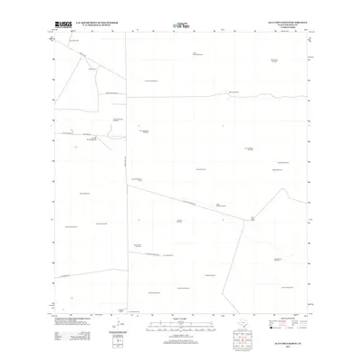
2013 Map of Alta Vista Ranch
USGS Topo · Published 2013About this map
The Alta Vista Ranch and surrounding holdings in Jim Hogg County characterize the expansive ranching landscape of South Texas as it appeared in the early 21st century. This map reveals a high density of water infrastructure essential for cattle operations, including family-named and descriptively titled sites like Pero Grande Windmill, Mala Suerte Windmill, and Cinco de Mayo Windmill. These features indicate a terrain where groundwater is the primary lifeblood for the dispersed ranching outposts.
Find a feature on this map
37 named features on this map. Tap any name to fly to it.
Don’t see what you’re looking for? This feature index may not catch every label — zoom into the map to look around manually.
Map Details
Editions of this 2013 Alta Vista Ranch Map
This is the sole edition of this map. No revisions or reprints were ever made.
Other maps of this area

1921 · Falfurrias
USGS Topo · 1:125,000

1938 · Agua Nueva
USGS Topo · 1:62,500

1939 · Encantada
USGS Topo · 1:62,500

1949 · Mc Allen
USGS Topo · 1:250,000

1954 · McAllen
USGS Topo · 1:250,000

1956 · Laredo
USGS Topo · 1:250,000

1957 · Mc Allen
USGS Topo · 1:250,000

1962 · McAllen
USGS Topo · 1:250,000

1968 · Palomas Ranch NW
USGS Topo · 1:24,000

1968 · Palomas Ranch SW
USGS Topo · 1:24,000