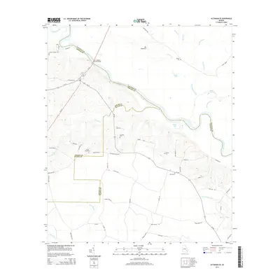
2014 Map of Altamaha SE
USGS Topo · Published 2014About this map
The Altamaha River winds through the heart of this coastal plain landscape, serving as the border between Tattnall, Appling, and Wayne counties. The terrain is defined by its complex hydrology, featuring numerous oxbow lakes and tributaries like Rocky Lake, Jessie Lake, and Watermelon Creek. Near the river's edge, the Big Hammock stands as a significant natural landmark, while the John C Beasley Memorial Bridge provides a vital modern link across the water for travelers on GA-121.
Find a feature on this map
55 named features on this map. Tap any name to fly to it.
Don’t see what you’re looking for? This feature index may not catch every label — zoom into the map to look around manually.
Map Details
Editions of this 2014 Altamaha SE Map
This is the sole edition of this map. No revisions or reprints were ever made.
Other maps of this area

1918 · Jesup
USGS Topo · 1:62,500

1920 · Glennville
USGS Topo · 1:62,500

1943 · Jesup
USGS Topo · 1:62,500

1944 · Glennville
USGS Topo · 1:62,500

1946 · Brunswick
USGS Topo · 1:250,000

1948 · Brunswick
USGS Topo · 1:250,000

1950 · Glennville
USGS Topo · 1:62,500

1953 · Waycross
USGS Topo · 1:250,000

1956 · Brunswick
USGS Topo · 1:250,000

1958 · Waycross
USGS Topo · 1:250,000