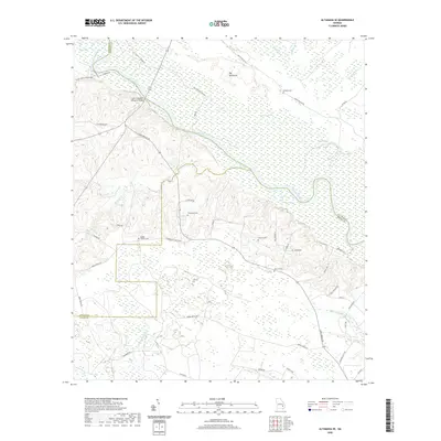
2020 Map of Altamaha SE
USGS Topo · Published 2020About this map
The Altamaha River winds through this coastal plain landscape where Appling, Tattnall, and Wayne Counties meet. This 2020 survey documents a network of rural roads and family cemeteries that anchor the local geography. Significant landmarks include the John C Beasley Memorial Bridge and several isolated water bodies such as Bluff Lake and Jessie Lake. The terrain is characterized by the expansive Big Hammock and a series of smaller waterways including Fivemile Cr and Penholoway Creek. Genealogists may find value in the scattered burial sites, specifically the Moody-Tillman Cem, Thompson Cem, and Matlock Cem, which reflect the long-standing family ties to this riverine environment. The presence of Friendship Church Rd suggests the historical importance of community gathering points in this dispersed settlement pattern.
Find a feature on this map
54 named features on this map. Tap any name to fly to it.
Don’t see what you’re looking for? This feature index may not catch every label — zoom into the map to look around manually.
Map Details
Editions of this 2020 Altamaha SE Map
This is the sole edition of this map. No revisions or reprints were ever made.
Other maps of this area

1918 · Jesup
USGS Topo · 1:62,500

1920 · Glennville
USGS Topo · 1:62,500

1943 · Jesup
USGS Topo · 1:62,500

1944 · Glennville
USGS Topo · 1:62,500

1946 · Brunswick
USGS Topo · 1:250,000

1948 · Brunswick
USGS Topo · 1:250,000

1950 · Glennville
USGS Topo · 1:62,500

1953 · Waycross
USGS Topo · 1:250,000

1956 · Brunswick
USGS Topo · 1:250,000

1958 · Waycross
USGS Topo · 1:250,000