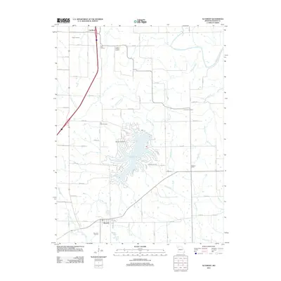
2012 Map of Altamont
USGS Topo · Published 2012About this map
Altamont and the sprawling waters of Lake Viking define this section of Daviess County, where the rural Missouri landscape is shaped by the winding courses of South Big Creek and the Grand River. This 2012 survey captures the transition between traditional agricultural layouts and the residential and recreational development centered around the lake, including the Lake Viking Airport and its surrounding network of themed roads like Yacht Club Cir and Barracuda Rd.
Find a feature on this map
45 named features on this map. Tap any name to fly to it.
Don’t see what you’re looking for? This feature index may not catch every label — zoom into the map to look around manually.
Map Details
Editions of this 2012 Altamont Map
This is the sole edition of this map. No revisions or reprints were ever made.
Other maps of this area

1922 · Gallatin
USGS Topo · 1:62,500

1924 · Winston
USGS Topo · 1:62,500

1925 · Pattonsburg
USGS Topo · 1:62,500

1925 · Gilman
USGS Topo · 1:62,500

1944 · Pattonsburg
USGS Topo · 1:62,500

1946 · Gilman
USGS Topo · 1:48,000

1946 · Pattonsburg
USGS Topo · 1:48,000

1948 · Gilman
USGS Topo · 1:62,500

1948 · Pattonsburg
USGS Topo · 1:62,500

1950 · Kansas City
USGS Topo · 1:250,000