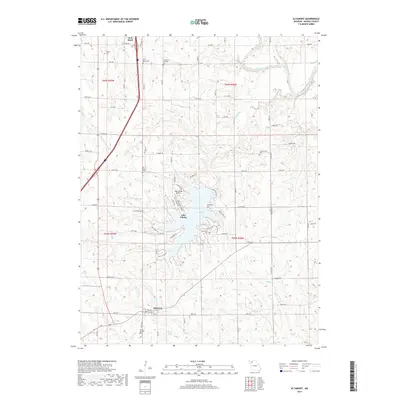
2017 Map of Altamont
USGS Topo · Published 2017About this map
The Grand River sweeps through the northeast corner of this Daviess County landscape, which is defined by the sharp contrast between the traditional rural settlement of Altamont and the modern planned development surrounding Lake Viking. This large reservoir, with its intricate shoreline of coves and recreational roads like Frog Rd and Barracuda Rd, serves as a focal point for the region, complete with the Lake Viking Airport.
Find a feature on this map
50 named features on this map. Tap any name to fly to it.
Don’t see what you’re looking for? This feature index may not catch every label — zoom into the map to look around manually.
Map Details
Editions of this 2017 Altamont Map
This is the sole edition of this map. No revisions or reprints were ever made.
Other maps of this area

1922 · Gallatin
USGS Topo · 1:62,500

1924 · Winston
USGS Topo · 1:62,500

1925 · Pattonsburg
USGS Topo · 1:62,500

1925 · Gilman
USGS Topo · 1:62,500

1944 · Pattonsburg
USGS Topo · 1:62,500

1946 · Gilman
USGS Topo · 1:48,000

1946 · Pattonsburg
USGS Topo · 1:48,000

1948 · Gilman
USGS Topo · 1:62,500

1948 · Pattonsburg
USGS Topo · 1:62,500

1950 · Kansas City
USGS Topo · 1:250,000