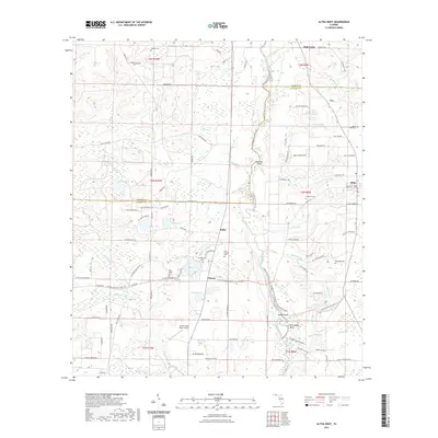
2021 Map of Altha West
USGS Topo · Published 2021About this map
The Chipola River carves a winding path through the heart of this Panhandle landscape, defining the boundary between Jackson and Calhoun Counties. Around the community of Altha, the terrain is a complex network of wetlands and creek systems, including Sink Creek and Tenmile Cr. The map reveals a deeply rooted rural geography punctuated by numerous family and community burial grounds such as Richards Cem, Maddox Cem, and Edenfield Cem.
Find a feature on this map
113 named features on this map. Tap any name to fly to it.
Don’t see what you’re looking for? This feature index may not catch every label — zoom into the map to look around manually.
Map Details
Editions of this 2021 Altha West Map
This is the sole edition of this map. No revisions or reprints were ever made.
Other maps of this area

1944 · Clarksville
USGS Topo · 1:31,680

1945 · Juniper Creek
USGS Topo · 1:31,680

1945 · Blountstown
USGS Topo · 1:31,680

1945 · Clarksville
USGS Topo · 1:31,680

1952 · Cypress
USGS Topo · 1:24,000

1952 · Oakdale
USGS Topo · 1:24,000

1952 · Kynesville
USGS Topo · 1:24,000

1952 · Alford SE
USGS Topo · 1:24,000

1952 · Altha West
USGS Topo · 1:24,000

1952 · Altha East
USGS Topo · 1:24,000